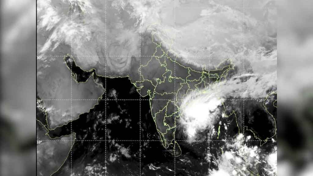
Cyclone Akvan Update: Cyclonic Storm Forming Over Parts Of Bay of Bengal Likely To Intensify Into Severe Cyclonic Storm
Cyclonic Storm Akvan over the Bay of Bengal is set to intensify further, with the India Meteorological Department (IMD) forecasting a landfall on the Andhra Pradesh coast around noon on 20 November.
Heavy rainfall is expected in parts of Andhra Pradesh, and Odisha and Tamil Nadu are also on alert.
According to the IMD, the system is likely to become a Severe Cyclonic Storm on Wednesday and a Very Severe Cyclonic Storm by Thursday evening. Landfall is forecast between Nellore and Visakhapatnam.
Some reports put the crossing between Nellore and Tuni, covering the Andhra Pradesh and Yanam coasts. The IMD has issued an Orange Message cyclone alert for the Andhra Pradesh and adjoining south Odisha coasts.
The IMD has warned of winds of up to 130 kmph and extremely heavy rainfall. Other reports cite winds of up to 145 kmph. The estimates differ, and the figures may change as the storm strengthens.
Odisha Readies Evacuations
In Odisha, the state government has stepped up preparations. District administrations have identified 2,04,070 people (2.04 lakh) for possible evacuation from vulnerable areas across eight districts, according to IANS.
In Ganjam district, authorities have identified landslide-prone locations and low-lying areas at risk of inundation.
Tamil Nadu Fishermen Told To Stay Ashore
Tamil Nadu's Fisheries Department has advised fishermen not to venture out to sea as winds rise. Vessels have been anchored at Thoothukudi harbour. In Visakhapatnam, visuals from RK Beach showed rough waves breaking on the shore.
Source : ndtv.com